Design & Consultancy
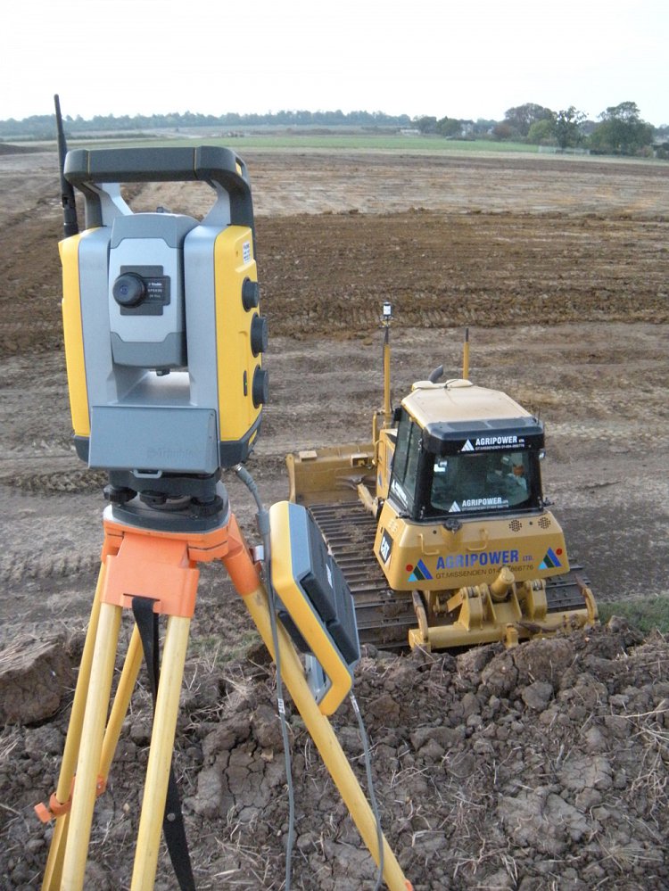
As with any engineering project half the success is in the initial investigation and planning. From a basic site boundary pick-up to highly detailed 3D terrain modelling using our new GPS enabled Leica TCRP1205 robotic Total Station; we can fulfil your topographic survey requirements. GPS Surveying allows us to provide you with fast and accurate location-based information. The data can be processed either in real-time, or after the survey is completed, dependent on your requirements.
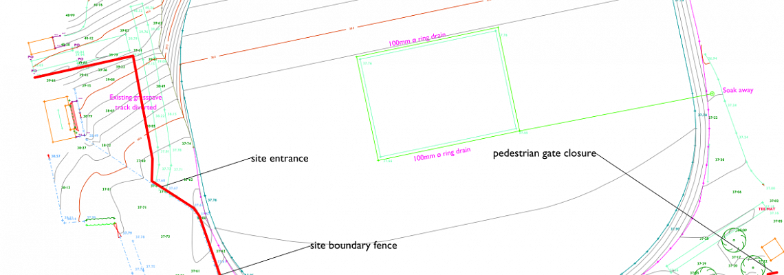
Agripower’s topographical surveys are surveyed in 3D. Therefore in addition to providing contoured plans, we are able to provide 3D digital terrain modelling using specialized software from McCarthy Taylor. LSS is a complete land survey, terrain modelling, volumetrics, design and visualisation package capable of importing a wide range of 3D data, including raw land survey information from EDM or GPS instruments, CAD systems and user-definable coordinate formatted data. LSS immediately produces a triangulated terrain model, which can then be queried, viewed, manipulated and designed through.
Before we break the soil we consult fully with our customers offering a highly professional service that can create, design and specify the work needed. We work with you directly or liaise with your engineers to ensure an outcome that is delivered on time and to budget. Agripower always plans for optimal results but at a competitive price.
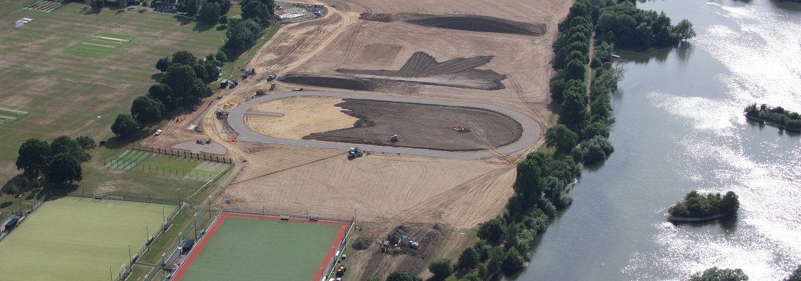
Once the 3D design has been finalised and agreed with the client, it is exported to create a machine file. We have recently invested in the Trimble GCS900 Grade Control System 3D Automatic Control following successful trials at Bicester Sports Village(link). One of the most revolutionary changes in the way earthworks are performed has been the introduction of 3D systems originally by Trimble in 1995. The Trimble® GCS900 Grade Control System represents the next-generation 3D system from the company that invented 3D grade control.
We can also offer site investigations employing percussive drilling, rotary drilling, excavators, dynamic probing or sampling, together with hand dug trial pits as required. Comprehensive reports are produced with recommendations for soil improvement and conditioning.
In addition, should a client require competitive pricing from a number of contractors, we are also able to offer a package to provide plans, specification and bill of quantities thus ensuring that quotations are on a like for like basis and simplify the selection process for the client.
Visit our client’s page for a list of our clients or our gallery page to view recent images.
For further information about the design and consultancy services we offer, click here or call 01494 866 776.
